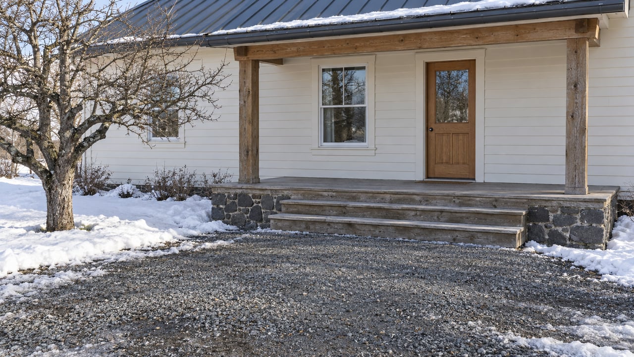
When the first real snow comes, who clears the last mile to an acreage outside Weiser? A listing sheet usually can't tell you. "County road access" sounds like it answers the question, but in Washington County, more than one agency is involved in public road maintenance. A private lane between the public road and your gate raises another question.
Rural buyers can be surprised. The county does not maintain private roads. Its subdivision rules address year-round emergency access. Road & Bridge maps typically don't show private roads.
Private roads and year-round emergency access
Two short passages of Washington County code explain the problem. The county's subdivision regulations define a private road as "a street that is not accepted for a public use or maintenance that provides vehicular and pedestrian access to two (2) or more permanent residences." Then Section 6-4-2(B) addresses emergency access:
"All private road and driveways will be developed to sufficiently provide operational and year round emergency access as required by the emergency service providers (i.e., fire district, ambulance district, QRU, etc.). In the event there are conflicting standards between emergency service providers, the most stringent standard will govern."
Who clears a private road after a storm? That is a question a buyer needs answered before closing.
Idaho's statutes use the same distinction. Idaho Code 50-1301 defines a private road as one within a subdivision plat that is "not dedicated to the public and not a part of a public highway system." A public right-of-way doesn't guarantee that anyone will grade or plow it.
The maps leave the private stretch out
You might expect to settle the question by pulling up a county map. That only partly works. At the May 11, 2026 meeting of the Washington County Commissioners, the Road & Bridge supervisor at the time explained how the department handles private roads on its maps. "We typically don't show private roads on any of Road and Bridge maps," he said. One commissioner summed it up: "Private road is their own deal." The meeting minutes record that exchange during a discussion of a development served by a new private road. In the same meeting, the supervisor said that from that point on, developers there would be required to put the access roads in place before the remaining parcels could be developed or sold.
The county Assessor's Countywide Roads map does mark paved, gravel and dirt, city, and private roads. It is also labeled "FOR ASSESSMENT PURPOSES ONLY" and "DOES NOT GUARANTEE BOUNDARIES." It's a useful first look, but it doesn't tell you who maintains what.
Two public agencies, not one
Off the private lane and onto a public road, there is a second question to answer. Washington County's code names both the Weiser Valley Highway District and the Washington County Road & Bridge Department as possible local highway jurisdictions for reviewing plats and approving streets, approaches, and rights-of-way. They are separate bodies with separate budgets.
Olds Ferry Road is a good example of how this plays out. County commissioners' minutes from March 17, 2025 state that Olds Ferry Road is maintained by the Weiser Valley Highway District, not the county, and the board suggested meeting with the district's chair about the road's condition. The district board held its February 2024 meeting on its official map at 998 Olds Ferry Road in Weiser.
Where does the district's territory end and the county's begin? The Idaho Association of Highway Districts lists the district on its member map but cautions that the boundaries shown are approximate and suggests contacting the district to clarify them. In practice, a buyer finds out segment by segment.
| Stretch of road | Who maintains it | Where to ask or look |
|---|---|---|
| Private lane or shared drive | Check maintenance arrangements | Recorded easement, plat, and any written road agreement |
| District road, such as Olds Ferry Road | Weiser Valley Highway District | Contact the district directly |
| County road | Washington County Road & Bridge | Washington County Road & Bridge |
| Forest Service road | County agreement with the Forest Service awaiting signatures in August 2026 | County Road & Bridge and the Forest Service |
That last row matters more in the timbered country up the valley toward Midvale and Cambridge. At the August 17, 2026 commissioners' meeting, the minutes record that the county was waiting on signatures for an agreement with the Forest Service covering maintenance on Forest Service roads.
What winter looks like on the district's books
The highway district is small. Its annual road and street financial report for the fiscal year that ended September 30, 2024 lists $70,268 in property tax levy receipts and $11,545 in winter maintenance costs for that year. Those are fiscal 2024 figures, not a current budget. They do show the scale of winter work the district has been funding, which is useful to know when you're picturing how quickly a plow might reach the end of a long gravel road.
The county's road department is in a period of change heading into this winter. Signal American reported that commissioners approved a $23,286,240.50 county budget for fiscal 2026-27 on August 24, and that the meeting included discussion of recruiting a new Road and Bridge Supervisor after Jerod Odoms resigned in August. On August 17, Road and Bridge Foreman Eric Farrens told the board that the department had finished 27 miles of chip seal and would also help the City of Midvale, the City of Weiser, and the Weiser Valley Highway District.
Neither the county nor the district has published a snow removal policy or a plowing priority list. If you need to know how soon a particular road gets cleared after a storm, call the agency that maintains it and ask before you're under contract.
Before you write an offer on a rural parcel
This is general information about how roads around Weiser are managed, not legal advice. Easements, road agreements, and title questions belong with a real estate attorney or title professional who can review the documents for your parcel.
- Trace the route from the gate to the highway. Mark every segment and note whether the Assessor's map labels it private, gravel, or paved.
- Ask who maintains each public segment. If a road looks like district territory, call the district. For county roads, contact Washington County Road & Bridge.
- Read the recorded access documents for any private stretch, and look for written terms covering who maintains it and how costs are shared.
- Ask the sellers and neighbors how the private stretch has been handled in past winters, and whether any arrangement is in writing.
- Check with the fire district. Ask about year-round emergency access.
FAQ
What did county officials say about Delicious road?
In the May 2026 discussion, the supervisor at the time said a road named Delicious would appear on the county road map because a recorded survey now existed for it, and a commissioner confirmed it was a county public road. Private roads, he said, are not shown on Road & Bridge maps.
If you're looking at land outside Weiser and want to know who keeps the road to it open in January, Malia Bumgarner at Creed Noah Real Estate Company can help you trace each stretch from the gate to the highway and put you in touch with the right local offices before you commit. Let's Connect.